Prarie
The first map to show the "prarie" field was the 1841 tithe map. It is labelled as "Stack" suggesting that was where hay and straw were stored. That makes sense, as the Dutch Barn was errected next to it in the 1860s.
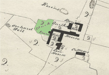
Tithe map 1841
Click here for a high resolution photograph in a new window:
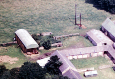
SINE Aerial Photograph 1950s
Click here for a high resolution photograph in a new window:
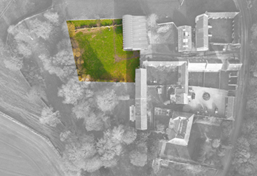
Current aerial view
Click here for a high resolution photograph in a new window:
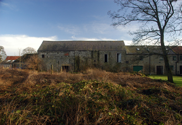
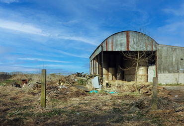
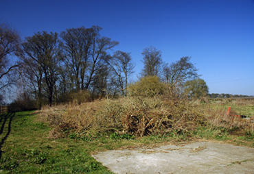
The prarie was used as a dumping area for unwanted plants, soil, farming and building materials. It was over-grown with nettles and shrubs, with plastic, metal and concrete waste making it difficult to walk over let alone mow or graze.
Prarie Looking East
Click here for a high resolution photograph in a new window:
Prarie looking North
Click here for a high resolution photograph in a new window:
Prarie looking West
Click here for a high resolution photograph in a new window:
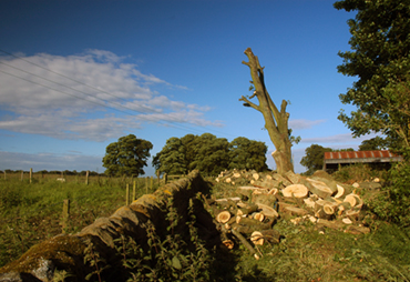
The prarie was cleared and levelled in February 2013, and that summer, Northern Powergrid decided to fell the large trees near the power lines. We ended up with a great deal of fire wood, which we are still using.
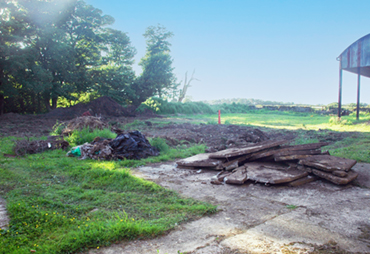
Prarie looking North-West
Click here for a high resolution photograph in a new window:
Prarie looking West
Click here for a high resolution photograph in a new window:
Prarie looking East
Click here for a high resolution photograph in a new window:
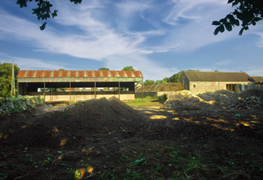
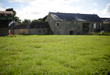
We sowed grass which grew very quickly and has been kept in check by the sheep. A trench was dug across the Prarie and the Fort in September 2022 for a new water supply to Rudchester - the grass has recovered.
Prarie looking West
Click here for a high resolution photograph in a new window:
Prarie looking North-West
Click here for a high resolution photograph in a new window:
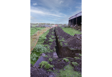
Trench across Prarie 2022
Click here for a high resolution photograph in a new window: