Drive
The drive has been the central farm courtyard since the 19th Century (see the 1860 OS map below). It had a very narrow entrance from the road, which was widened by taking down one of the cart sheds as part of the planning permission for conversion of the Bothy. It is bounded (anti-clockwise from the road) by the helmings, Rudchester Farmhouse, Farm Cottage, the Bothy, Rudchester Manor, the Front Garden and the Garages.
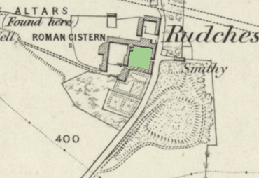
1860
Click here for the original source in a new window:
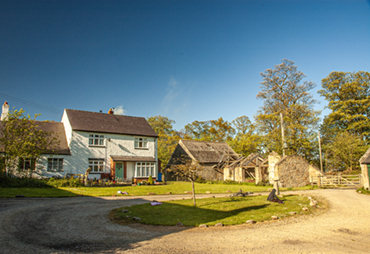
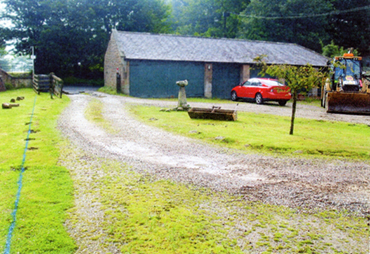
Drive 2007
Click here for a high resolution photograph in a new window:
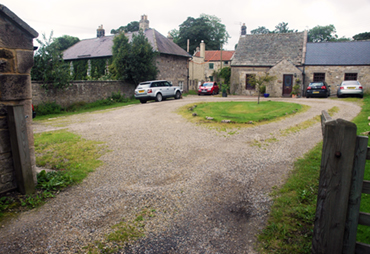
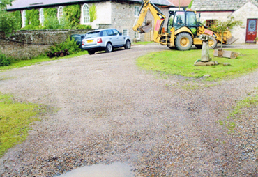
Drive 2009
Click here for a high resolution photograph in a new window:
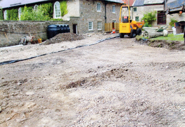
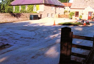
The drive was re-laid in the Summer of 2010. I have no idea why I didn't take photographs at the time, but these are from the builder who compelted the work. The first set are immediately before starting. The drive was a grassy area on which some gravel had been placed over the years. It was muddy with puddles, especially in the Winter.
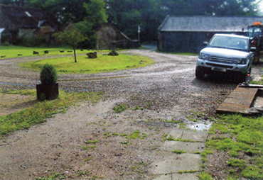
The drive looking West
Click here for a high resolution photograph in a new window:
The Drive loking East
Click here for a high resolution photograph in a new window:
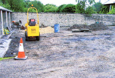
They carefuly scraped off the old gravel and topsoil, and put down a layer of compacted stone.
The drive looking East
Click here for a high resolution photograph in a new window:
The Drive looking South
Click here for a high resolution photograph in a new window:
The drive looking East
Click here for a high resolution photograph in a new window:
This is the finished article, which hasn't changed much over the years.
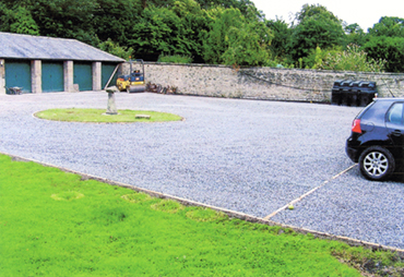
Drive looking South West
Click here for a high resolution photograph in a new window:
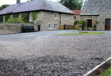
Drive looking West
Click here for a high resolution photograph in a new window:
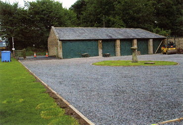
Drive looking East
Click here for a high resolution photograph in a new window:
Some recent aerial photographs
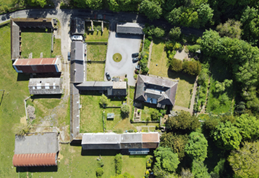
Drive 2020
Click here for a high resolution photograph in a new window:
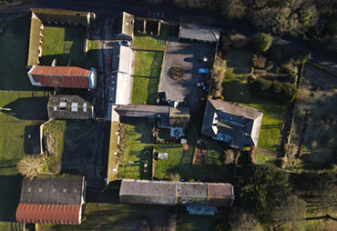
Drive January 2023
Click here for a high resolution photograph in a new window:
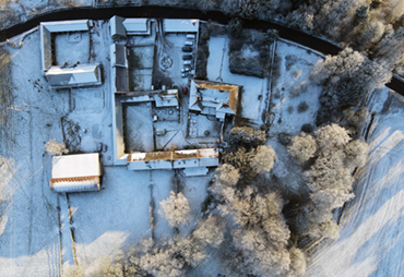
Drive December 2023
Click here for a high resolution photograph in a new window: