Quarry Wood
Quarry Wood is bounded by dry stone walls from the Wylam road, Quarry House and the surrounding fields.
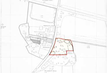
Land Registry Map
Click here for a high resolution photograph in a new window:
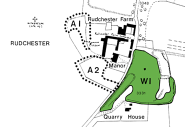
Quarry Wood TPO Map
Click here for a high resolution photograph in a new window:
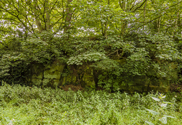
The Quarry
Click here for a high resolution photograph in a new window:
The Quarry has been in use since the Roman era providing stone for Vindobala and the Vicus, but more recently provided stone for Rudchester's buildings and building projects further afield (for example, Belmont Viaduct in durham according to the Proceedings of the Society of Antiquaries of Newcastle upon Tyne, Vol.1, No. 18, page 137 for 1856; Newcastle 1915). It was partly in-filled in the 1980s (1983 and 1986 permission).

Belmont Viaduct
Click here for the Historic England website in a new tab:
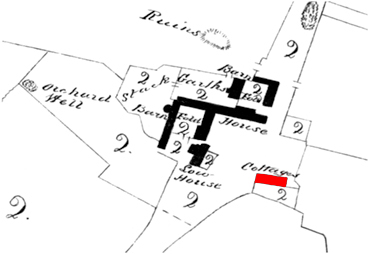
Cottages
Click here for the Rudchester Cottages web page:
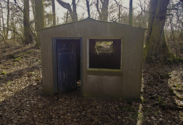
The Electricity Hut
Click here for a high resolution photograph in a new window:
Various old maps show a terrace of cottages in Quarry Wood. There is no evidence of them now, but there is a 20th century hut containing the electricity meter for Quarry House.